THE LAND
The last undeveloped ranch on Boulder Lake Road.
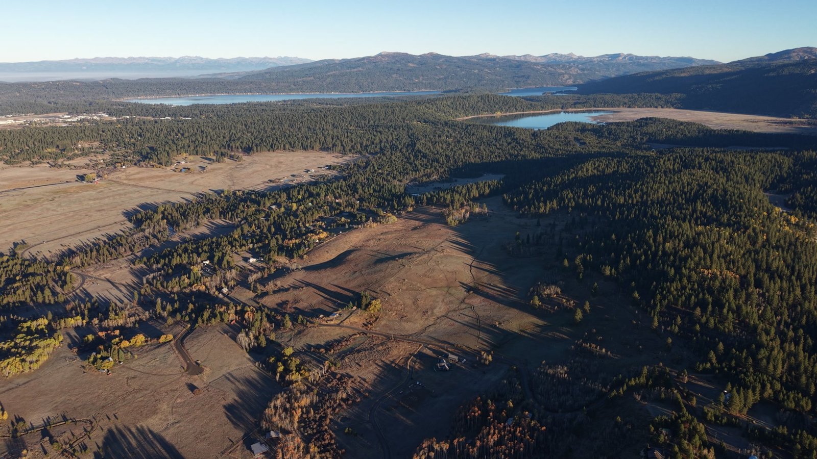
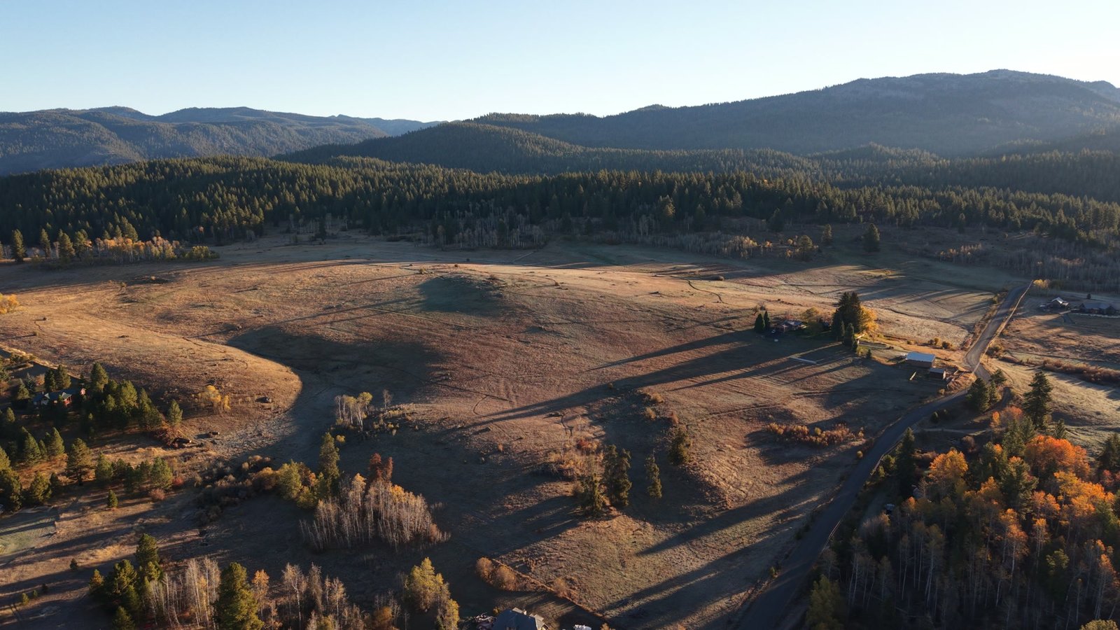
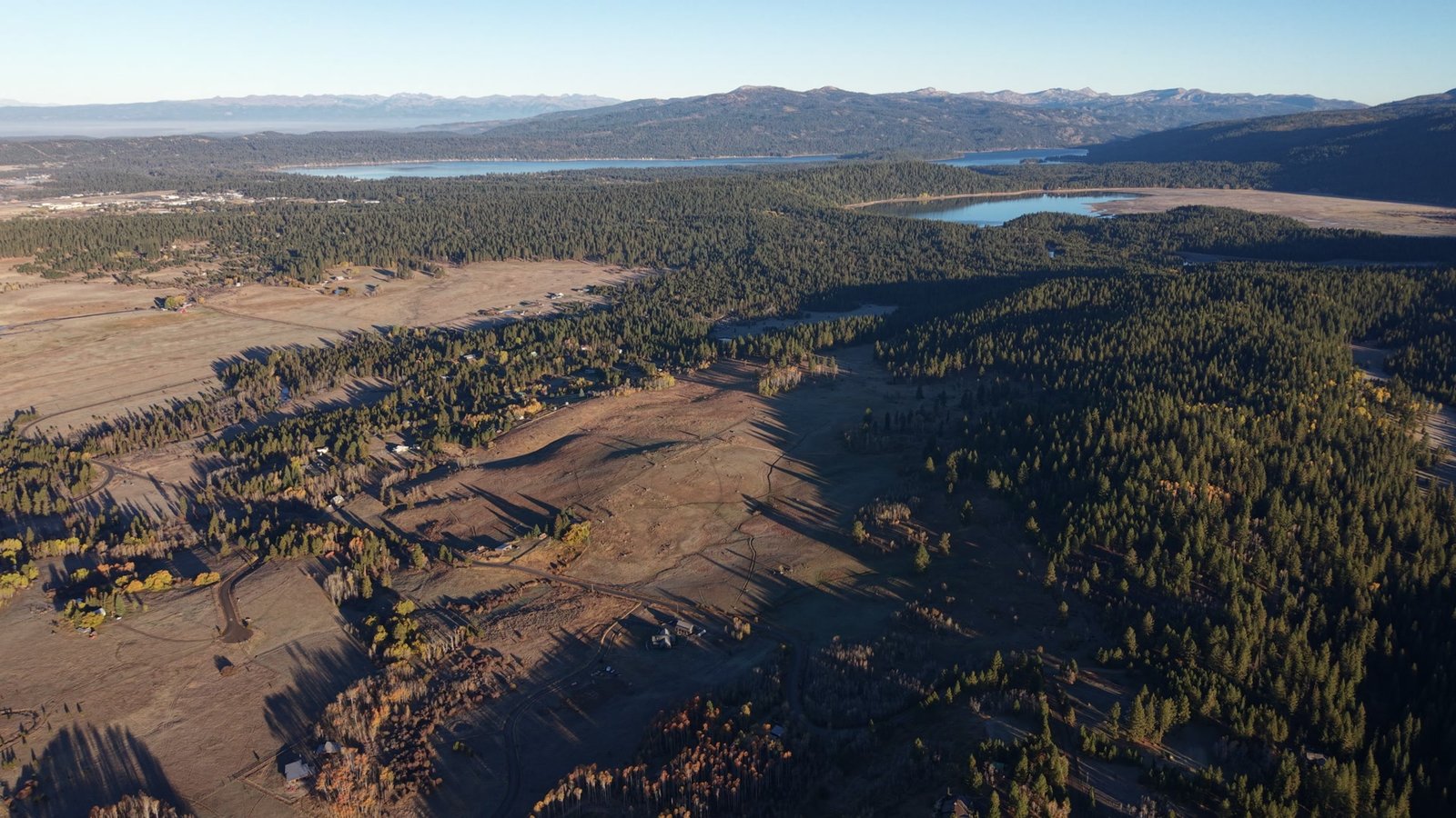
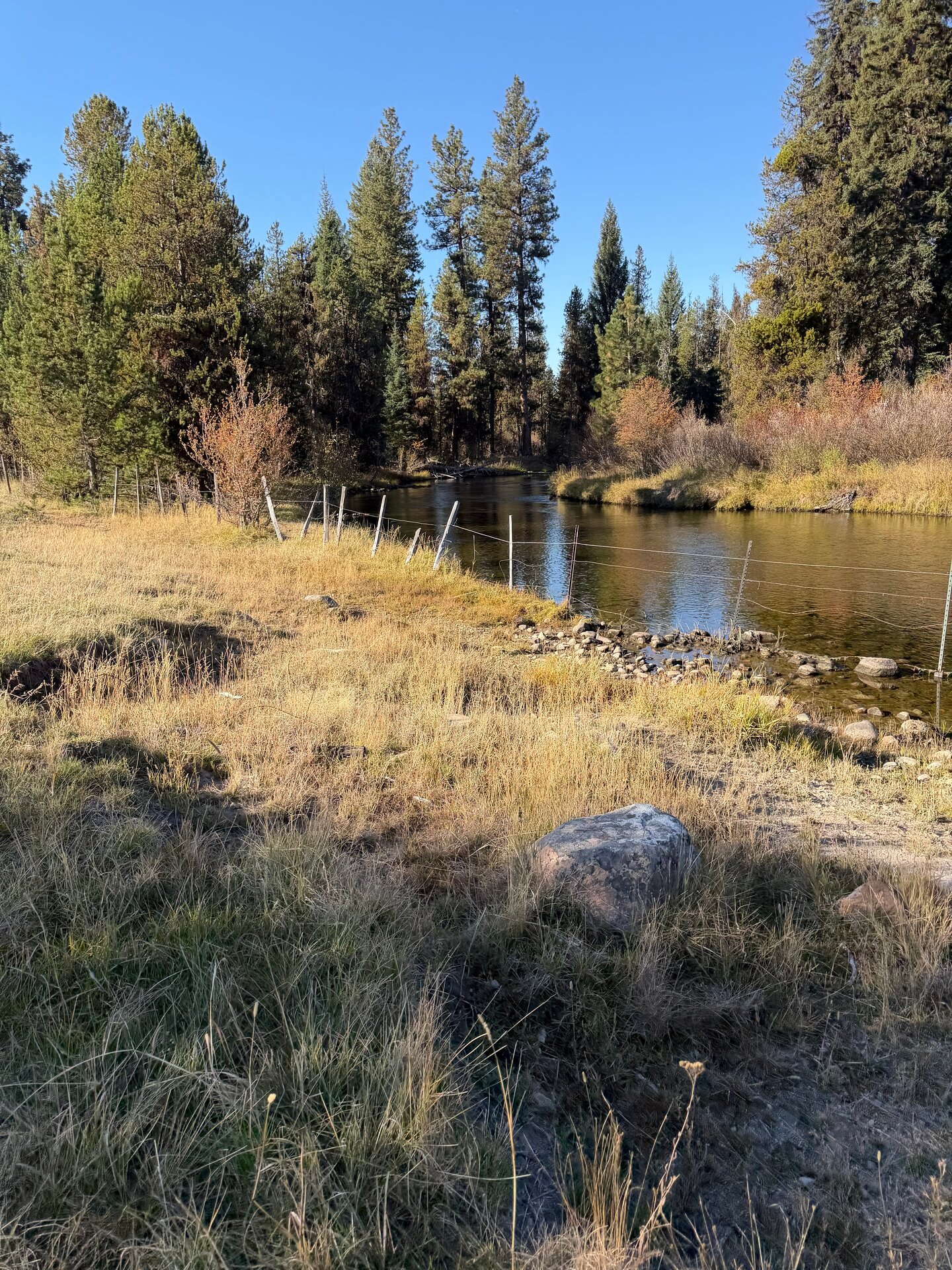
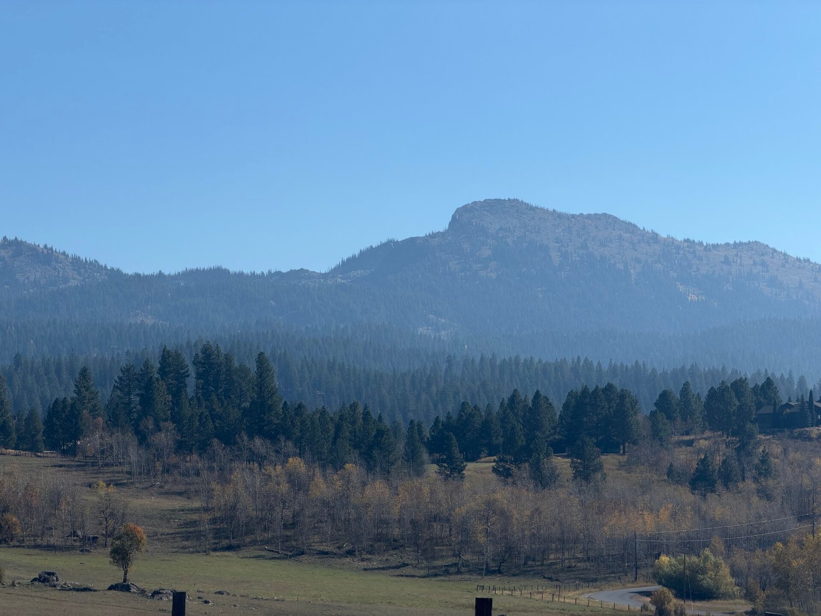
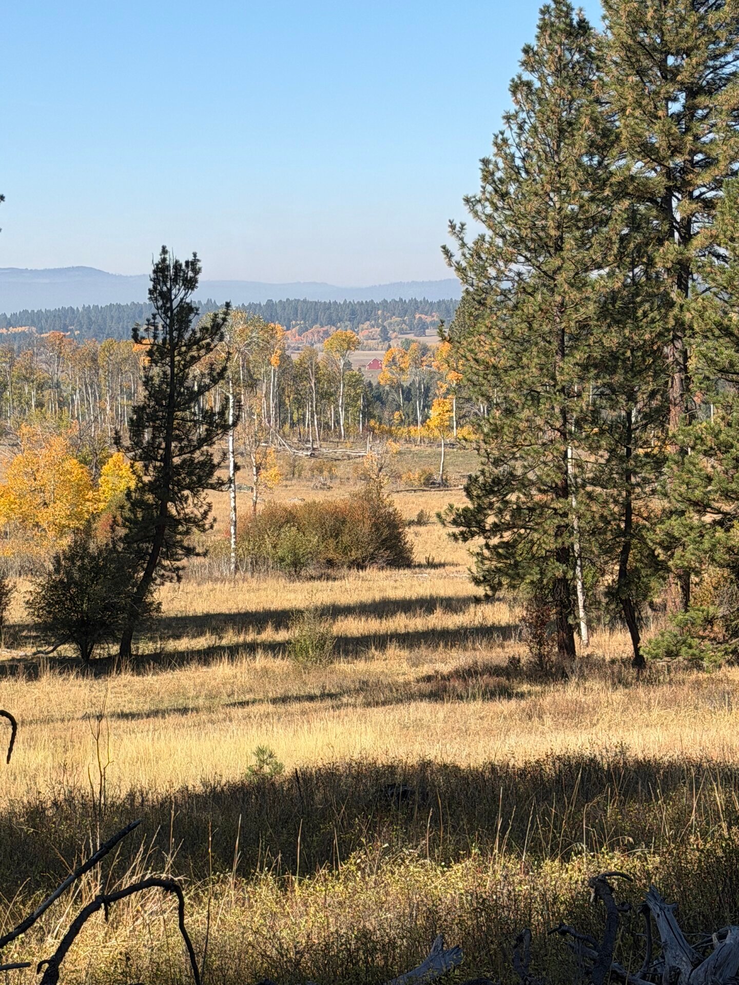
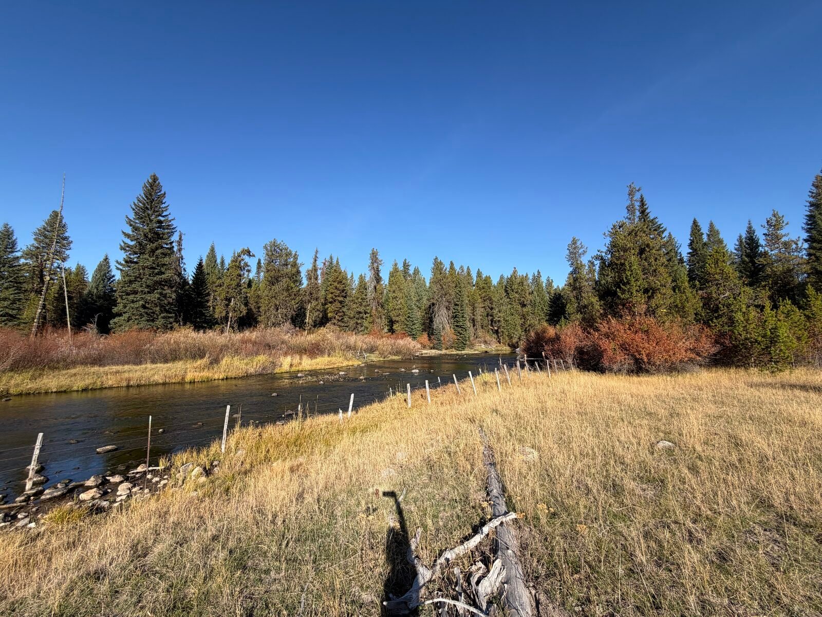
Open meadow runs into old-growth timber under Jughandle Mountain, on the east side of the valley where the afternoon and evening sun lingers. The property holds three private ponds, and the upper section of Lake Fork Creek crosses its common ground. Elk, moose, and deer still move through every day. The plan keeps it that way: big homesites, wide meadows, and 7.2 miles of trails in between.
SINCE 1889
A homestead, carried forward.
The Shaw family homesteaded this land the year before Idaho became a state and held it for five generations. Grandma's House and the first root cellar still stand, and the family named the places the way families do: Grasshopper Flats, the Old Campground, the Dark Forest. The plan carries the homestead forward: most of the ranch stays open, and the names stay on the land.
"Every acre has a story."THE SHAW FAMILY
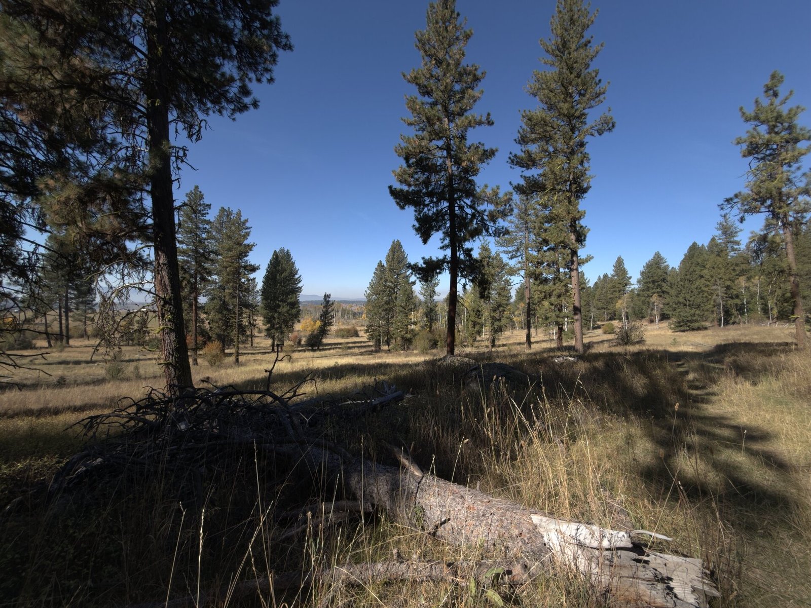
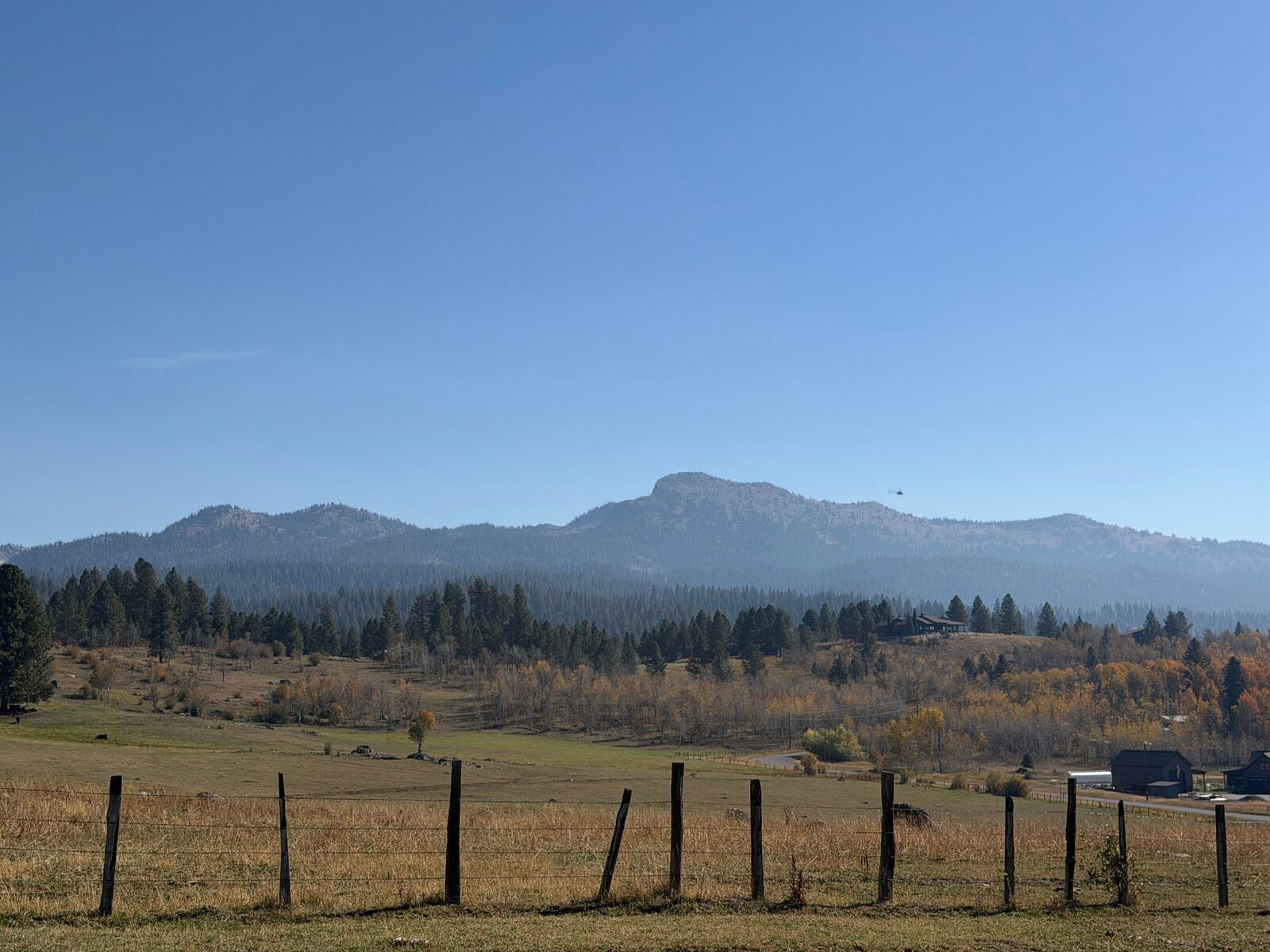
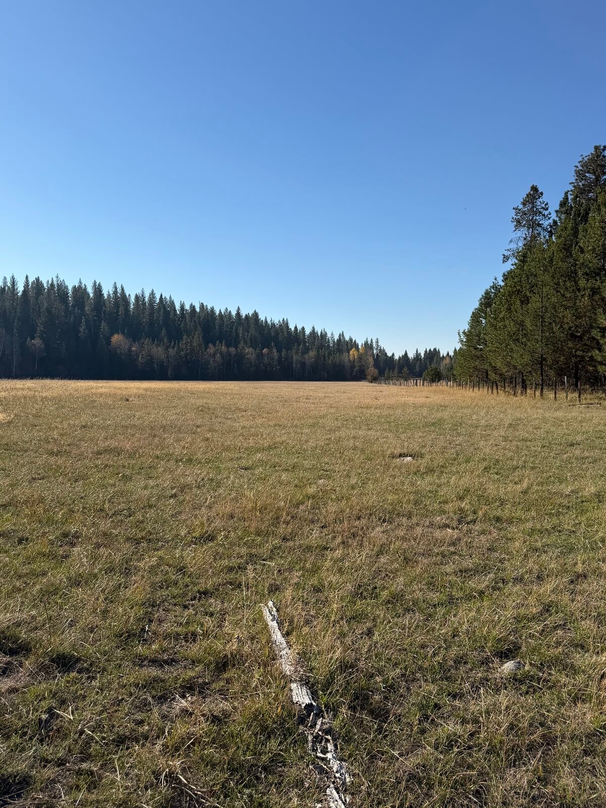
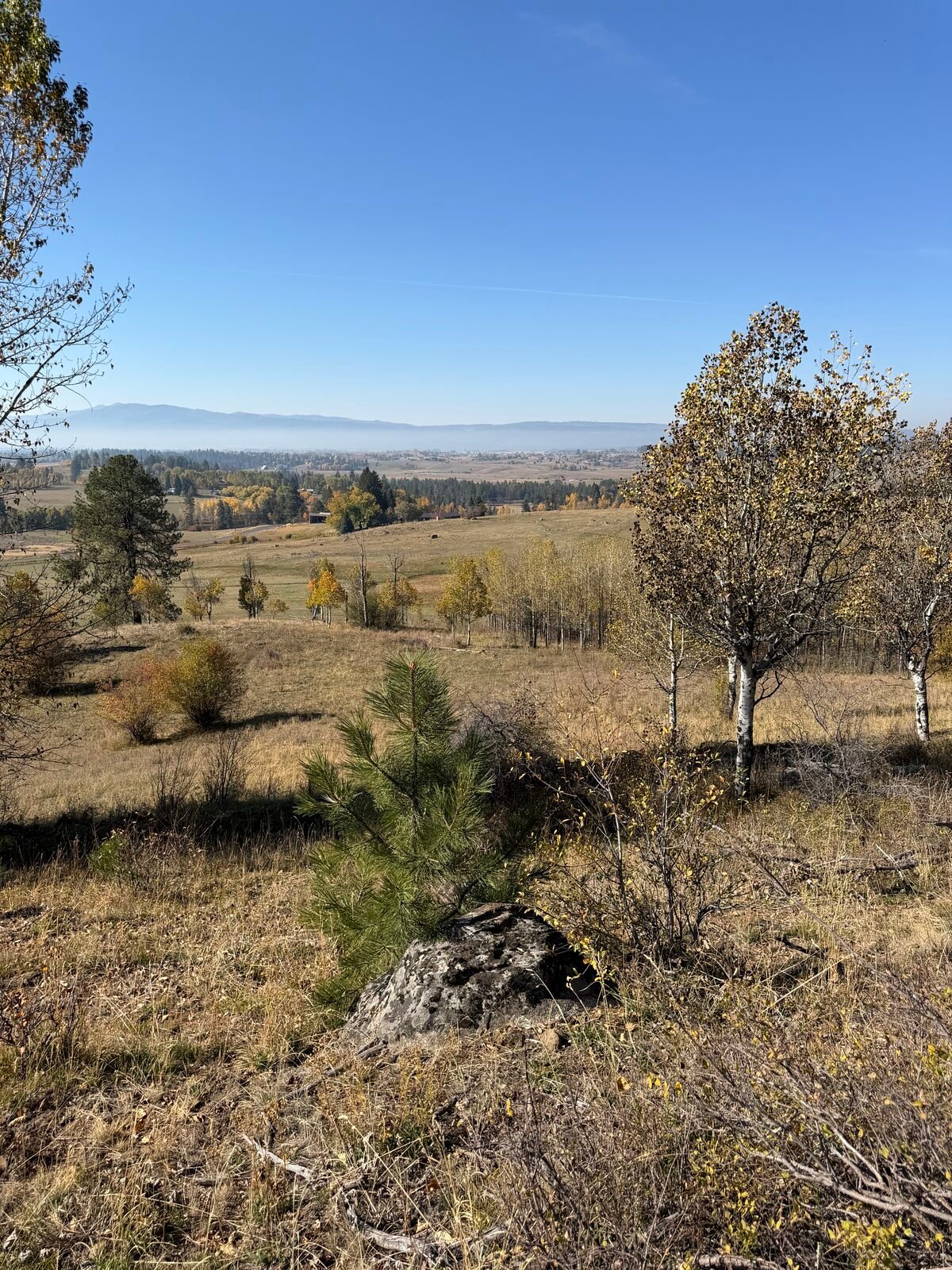
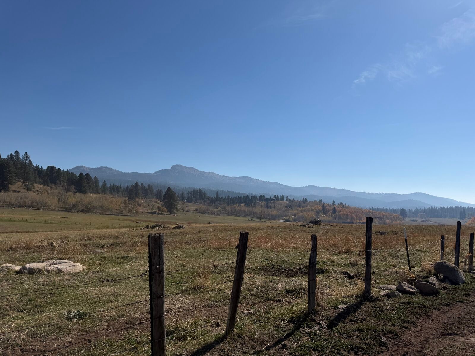
The valley one dreams of.
THE OFFER
Built around the water, the trails, and the back gate.
Every amenity sits on the common ground, held for the owners. The clubhouse is the gathering point; the water and the trails are the daily life.
The Clubhouse
Gym, pool and hot tub, indoor and outdoor pickleball, and the owners' helipad. The gathering hub of the ranch for events, private functions, and recreation.
The Clubhouse Pond
Four acres of water with a big sand beach and fire pit, right off the clubhouse. Paddleboarding, floating, swimming, kayaking, and fishing all summer.
The Ponds
All three ponds are fully stocked with trout. The Fishing Pond has its own gazebo and fire pit, and the Lower Pond sits down by the river.
Lake Fork Creek
World-class fly fishing on the upper section, reached from the ranch's common ground.
East Meadow Gazebo
A secluded fire-pit gathering spot out in the quiet.
The Trail System
7.2 miles across the ranch, connecting to Lake Fork Creek and the National Forest. Hiking, biking, and horses in summer; snowmobile, nordic and cross-country ski routes when the snow comes.
SIGNATURE AMENITIES
Water, trails, horses and sky.
Fly fishing on the upper section of Lake Fork Creek, reached from the common ground. Three private ponds, every one fully stocked with trout. The backcountry streams and lakes of the National Forest wait beyond the back gate.
The ranch borders Idaho state endowment land, and the trails tie into the Payette National Forest, about 2.3 million acres. Hike or bike out in summer; snowmobile, nordic and cross-country ski in winter, from your own property.
11 lots allow horses, from 5 to 28 acres, with trail access from your own gate to public land. Fewer than one lot in four.
15 lots are eligible for a private helicopter landing area, and every owner can use the clubhouse helipad. Fewer than three lots in ten carry helicopter rights.
HELICOPTER AND EQUESTRIAN USE ARE PLANNED PROGRAM ELEMENTS, SUBJECT TO VALLEY COUNTY CONDITIONAL USE APPROVAL, RECORDED COVENANTS, AND APPLICABLE FAA AND IDAHO REQUIREMENTS.
VALLEY COUNTY
Ten minutes to town. Two million acres the other way.
McCall has been Idaho's mountain town for a century: a lumber town that became a lake town, with the state's prettiest water at its center and a winter carnival that draws the whole state. It never got big, and it never got ruined. Ten minutes from the ranch gate, it is the morning coffee, the dinner out, the boat slip. The rest of the valley opens from there.
McCall & Payette Lake
Restaurants, the marina, lakefront lodges, and the famous Winter Carnival. Close enough for the school run, far enough for dark skies.
Brundage Mountain
Eight miles from town, with some of the lightest snow in Idaho. Skiing and mountain biking without the destination-resort crowds.
Tamarack Resort
A second resort down the valley: skiing, golf, and summer days on Lake Cascade.
The Payette backcountry
About 2.3 million acres of National Forest behind the ranch: trail rides, snowmobile country, backcountry streams, and Burgdorf Hot Springs.
Riggins & the Salmon River
Salmon and steelhead runs and whitewater in the canyon downriver. A fishing town the way they used to be.
Getting here
McCall's own airport takes private aircraft, minutes from the gate. Boise and its airport sit about 108 miles south, a little over two hours on the Payette River Scenic Byway. Or land at the clubhouse helipad.
The way up
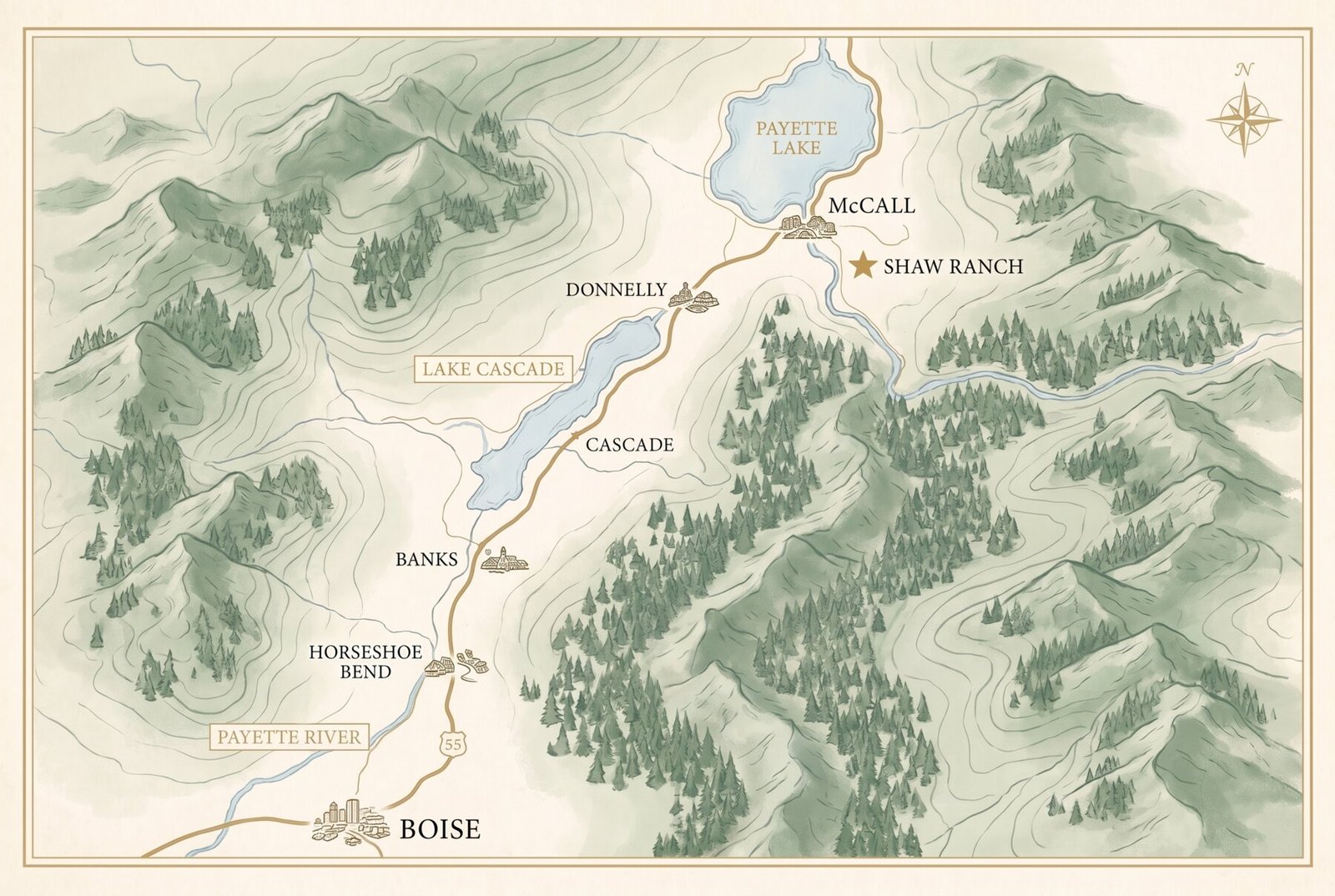
DRIVE TIMES AND DISTANCES ARE APPROXIMATE. MAP IS SCHEMATIC, NOT TO SCALE.
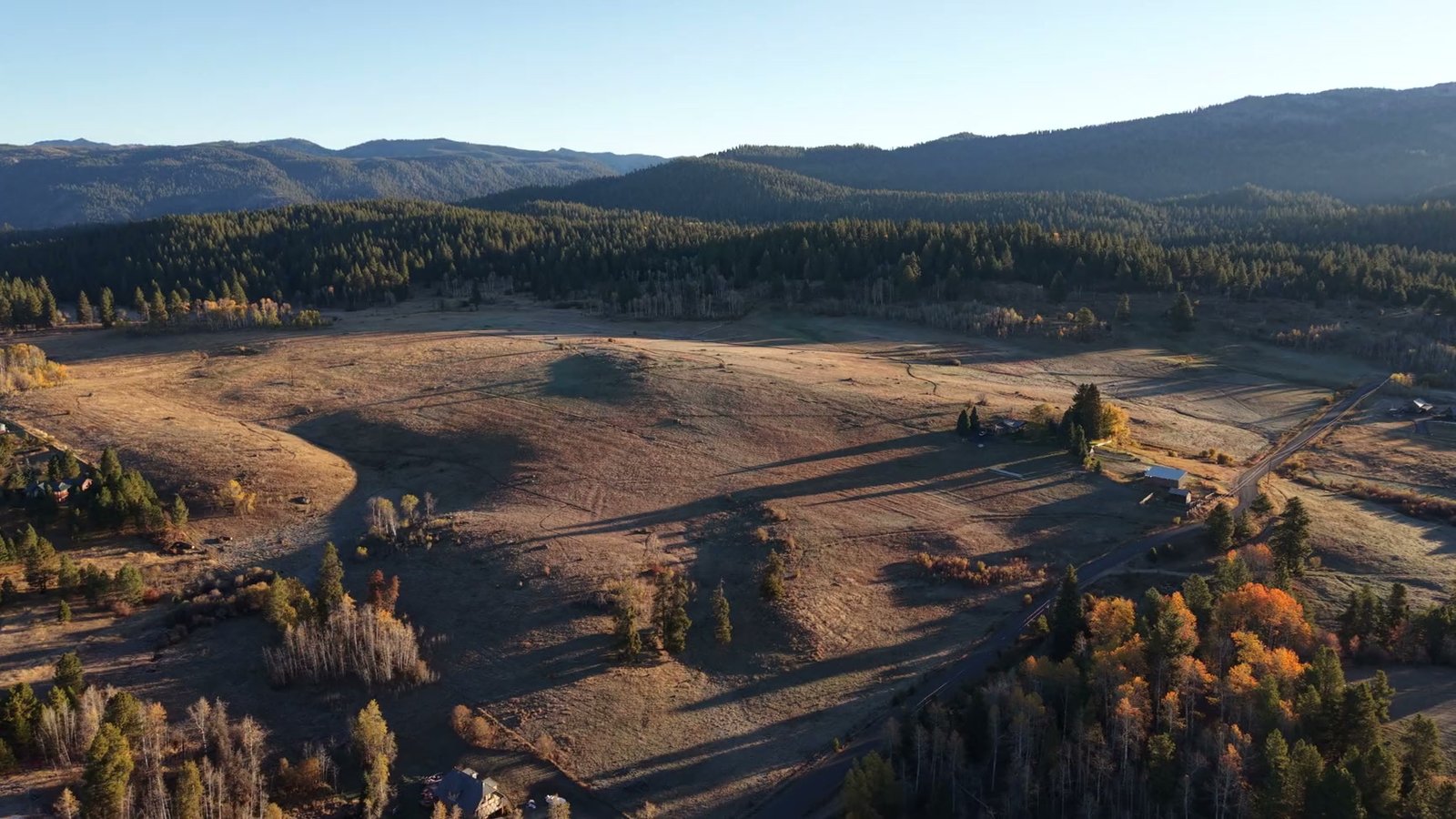
The valley your grandchildren will know by heart.
THE PLAT
Fifty-six lots. One plan.
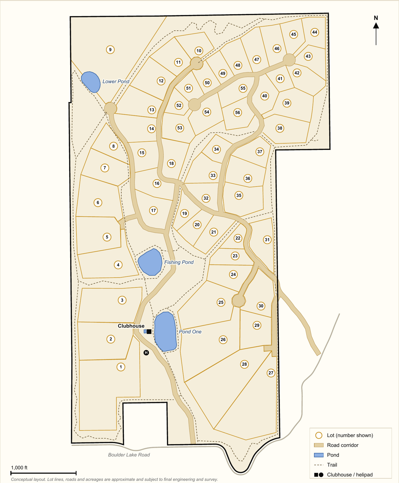
CONCEPTUAL LAYOUT. PHASE AREA SHOWN APPROXIMATELY. LOT LINES, ROADS AND ACREAGES ARE SUBJECT TO FINAL ENGINEERING AND SURVEY.
PHASE 1 · LOTS 1–18 · NOW RESERVING
The heart of the ranch: the clubhouse site, Pond One, and the largest acreages. The south and west of the property, where the amenities live.
THE 15 DESIGNATED LOTS
| LOT | ACRES | HELI | HORSES |
|---|---|---|---|
| 1 | 20.13 | ✓ | ✓ |
| 2 | 10.49 | ✓ | ✓ |
| 3 | 11.26 | ✓ | ✓ |
| 4 | 8.47 | ✓ | ✓ |
| 5 | 7.97 | ✓ | ✓ |
| 6 | 8.39 | ✓ | · |
| 9 | 27.62 | ✓ | ✓ |
| 20 | 3.41 | ✓ | · |
| 21 | 4.10 | ✓ | · |
| 23 | 3.26 | ✓ | · |
| 24 | 5.29 | ✓ | ✓ |
| 25 | 10.22 | ✓ | ✓ |
| 26 | 15.32 | ✓ | ✓ |
| 27 | 19.60 | ✓ | ✓ |
| 28 | 17.37 | ✓ | ✓ |
| 15 LOTS | 172.9 | 27% OF THE 56 | |
LOT ACREAGES ARE MEASURED FROM DRAWN LOT BOUNDARIES, ARE APPROXIMATE, AND ARE SUBJECT TO SURVEY.
THE PLAN
Carefully, in three phases.
The ranch comes forward the way it was held: without hurry. Infrastructure first, then lots, phase by phase.
PHASE 1
Lots 1 through 18
The south and west of the ranch: the clubhouse site, Pond One, and the big equestrian and helicopter acreages.
NOW RESERVINGPHASE 2
The center of the ranch
The meadow and timber lots around the fishing ponds and the middle trail network.
TO FOLLOWPHASE 3
The north meadows and timber
The upper reaches of the ranch, toward the Lower Pond and the northern boundary.
TO FOLLOWNOW
Planning and design
Field work, site design and engineering.
NEXT
Approvals
Valley County review and plat approval.
THEN
Infrastructure
Roads, utilities, ponds and amenities.
LATER
Homesites
Lot details shared as they are approved.
PRELIMINARY. LOT LINES, PHASING, AND TIMING ARE APPROXIMATE AND SUBJECT TO FINAL ENGINEERING, SURVEY, AND COUNTY APPROVAL.
QUESTIONS
Asked by everyone who loves this valley.
Can I actually reach public land from the ranch? +
Yes. The trail system ties into Idaho state endowment land and the Payette National Forest from the property itself. About 2.3 million acres start past the back gate.
Will there be covenants? +
Yes, recorded covenants and design review are planned to protect the open space and the value of every lot. They are being drafted now and will be shared with Phase 1 reservation holders.
What about roads and utilities? +
Phase 1 infrastructure is in design now. Details land with final engineering, and reservation holders see them first.
When can I build? +
Phasing is preliminary. Phase 1 lots come first, and reserving early means choosing early.
Is the helicopter program guaranteed? +
It is planned, not promised. Fifteen designated lots are eligible, subject to county conditional use approval and FAA requirements. The clubhouse helipad is planned for all owners.
Is this an offer to sell? +
No. This page is informational, and nothing here is an offer. Reservations simply hold your place as the plan is finalized.
PHASE 1
Fifty-six homesites. Eighteen open now.
Tell us what draws you and we will send the Phase 1 lot information as it is released.
Thank you.
You are on the list, and you will hear from us as Phase 1 moves forward.